Quiraing landslip, Trotternish, Skye

Introduction
This evening, I am posting information on the spectacular Trotternish (Trondairnis in Gaelic) area of the Isle of Skye. Trotternish forms the northernmost peninsula or ‘wing’ of Skye. (The island is also known as the ‘winged island’ due to its geography.)
Information on Trotternish
Name Origin
Ness is a word of Germanic origin meaning point or headland.The full name means ‘Thrond’s Ness’ ( cf Trondheim in Norway.)
Gaelic Speakers
About sixty per cent of the Trotternish population claim to speak Gaelic.
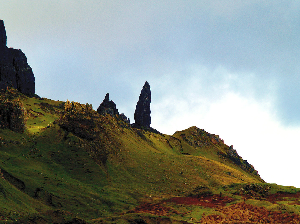
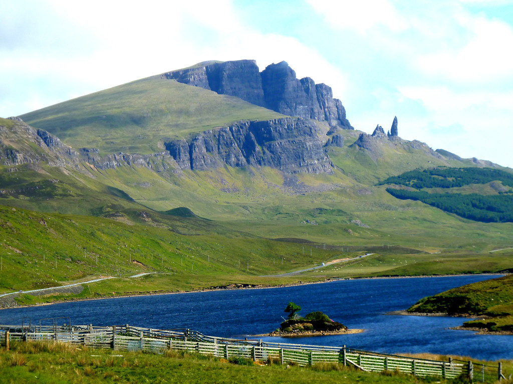
Skye is predominantly volcanic in origin with lava flows covering 400 square miles which are typified by table-topped hills. The lava has a thickness of 2000 feet which extends into the Trotternish region before terminating in a stark escarpment above Mesozoic sediments. The escarpment in eastern Trotternish provides examples of land slips where great masses of heavy basalt have slipped over weaker underlying Jurassic sediments to create very irregular topography as illustrated in the Quiraing and the Storr.
Old Man of Storr, Trotternish, Skye.

The Storr, Trotternish, Skye, Scotland.

Quiraing, Skye

Settlements
The principal settlements are Portree (often considered the capital of Skye), Uig (a ferry port) and Staffin.
Dinosaurs
In addition to the geology and scenery, fossilised dinosaur footprints from the Jurassic period have been found at Staffin.
Visitor Sites
- Flora MacDonald Connection.
- Kilt Rock.
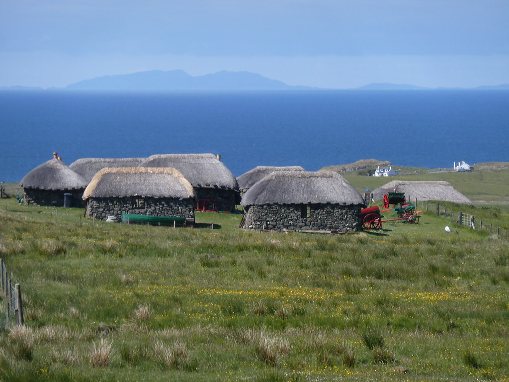
- Island Life Museum
Skye Museum of Island Life.

More information on Isle of Skye
For more information on Skye, other islands and Scotland in general please refer Visitors’ Guide to Scotland, ISBN 978-1-9161332-0-4. This publication is also available via Kindle.